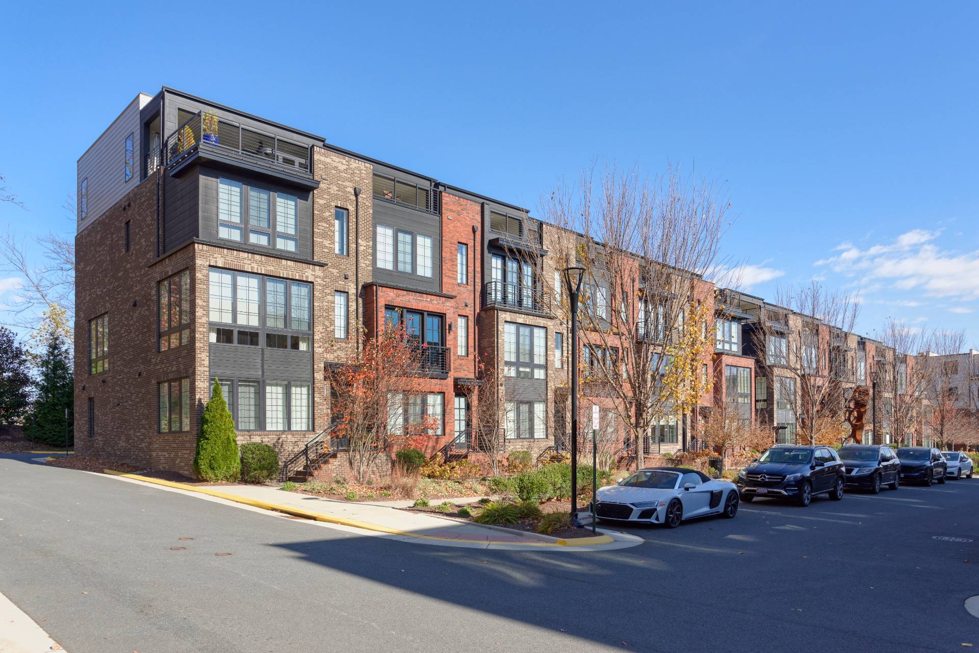
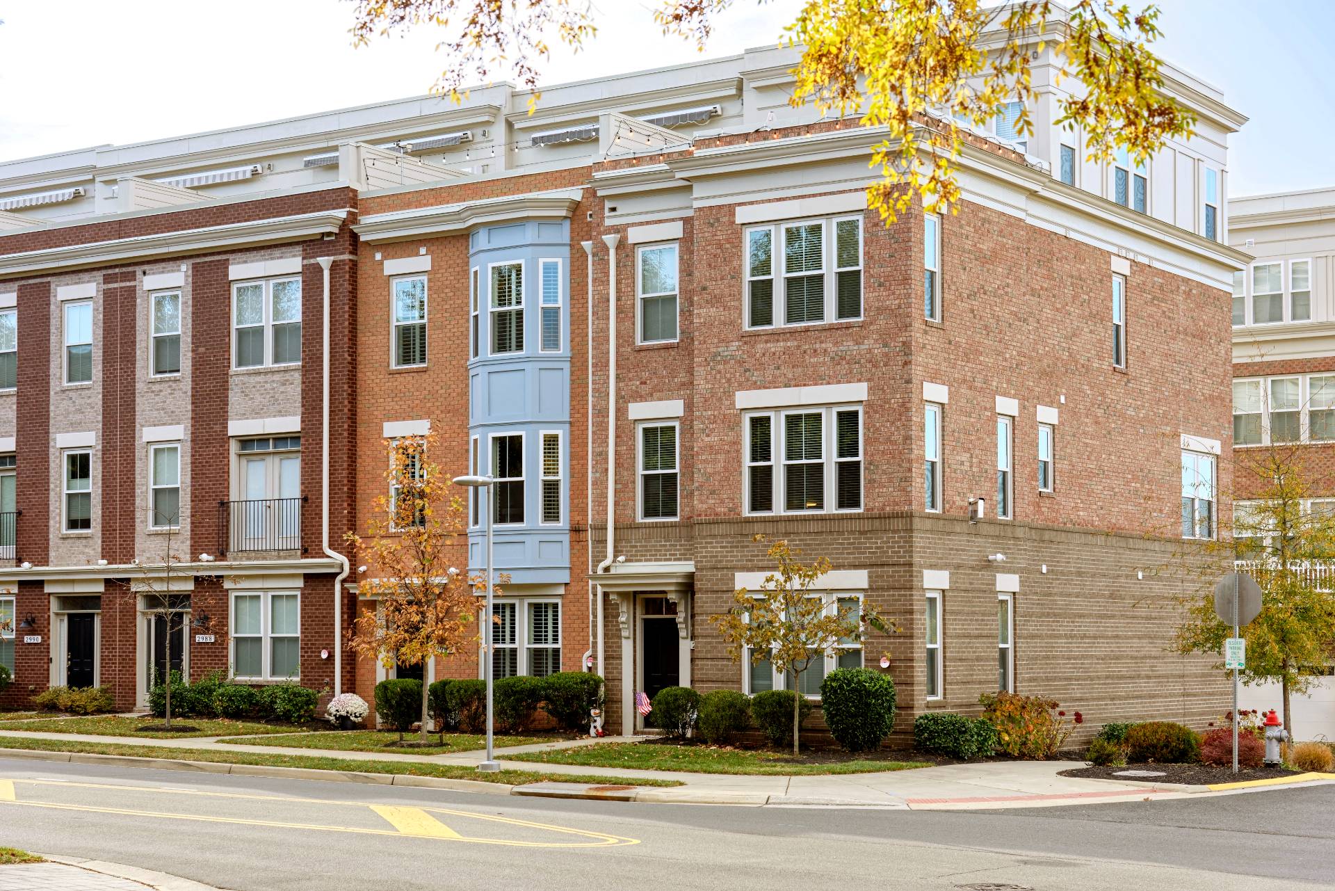
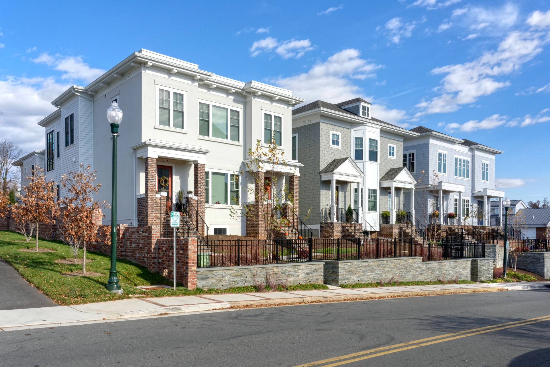
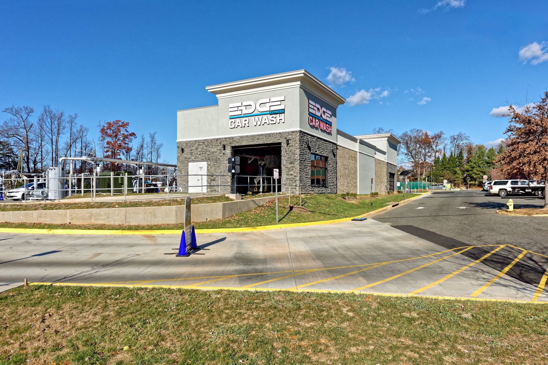
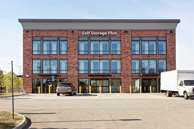
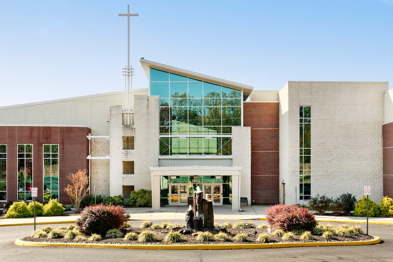
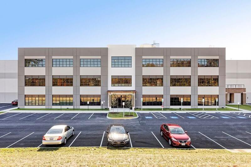
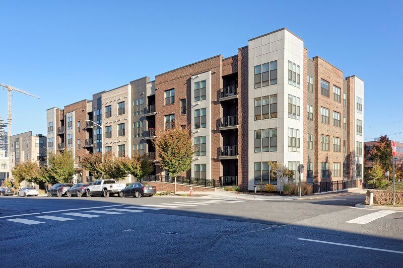
Successful land development requires coordination between multiple disciplines. LDC provides a collaborative approach that integrates planning, engineering, and surveying expertise to support projects from early feasibility through final construction.
Landscape Architecture & Planning
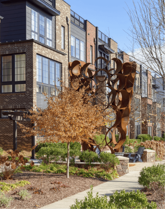
Thoughtful planning establishes the foundation for successful land development. Our planning and landscape architecture team works closely with clients to evaluate site opportunities, navigate regulatory requirements, and develop plans that support both project goals and community context.
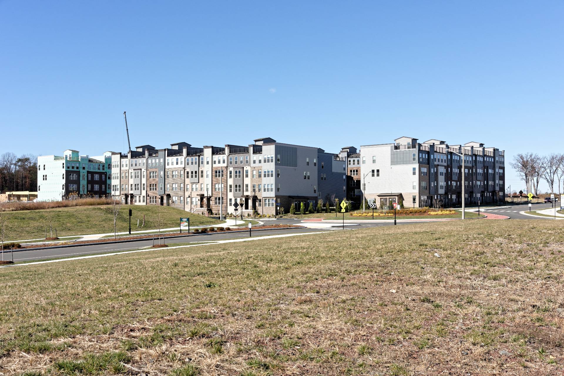
Our engineering team translates planning concepts into practical and buildable solutions. We coordinate closely with clients, consultants, and reviewing agencies to guide projects through permitting and construction while maintaining a focus on long-term performance and regulatory compliance.
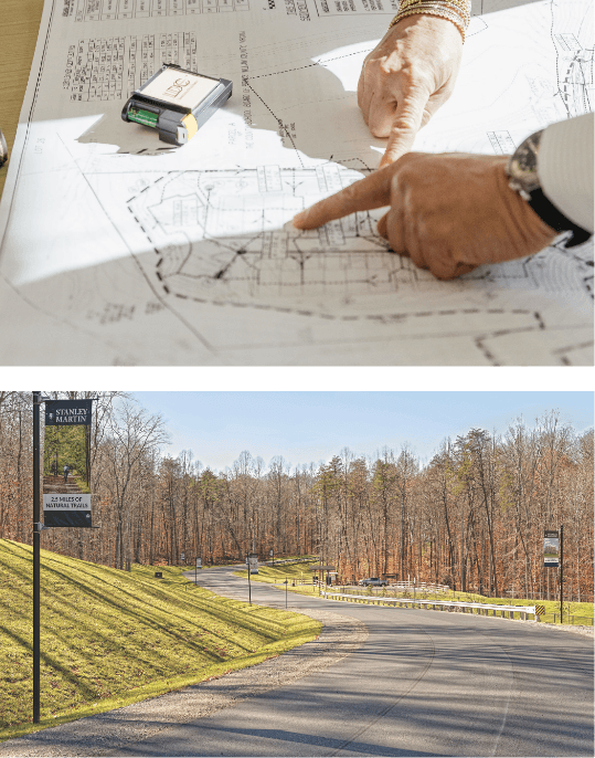
Accurate surveying provides the foundation for planning, engineering, and construction. LDC’s surveying team delivers reliable field data and mapping that support projects from initial site evaluation through final construction.
LDC has deep regional experience and maintains a strong understanding of local land development requirements to help projects move smoothly through approvals and permitting.
By integrating planning, engineering, and surveying within one firm, LDC provides a coordinated approach that supports efficient project delivery. Our team works collaboratively to ensure that technical decisions, regulatory requirements, and design considerations remain aligned throughout the development process.
This integrated workflow helps reduce delays, improve communication, and support successful project outcomes.